The Mission That Doesn’t Exist Yet — And the Tool That Already Does
Conventional thinking about lunar survival focuses on the poles. The nights are shorter there, conditions more forgiving, energy available almost continuously. This mission is somewhere else.
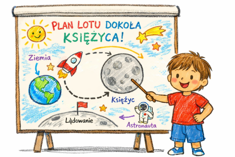
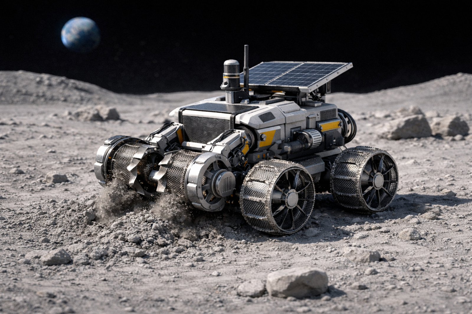
We’re sending a team of miniature construction machines to the Moon. The goal: locate a suitable boulder arrangement, build a habitat measuring 2×2×1 meters, cover it with regolith — and get it all done before sunset. Then we wait.
Fourteen days.
This Is Not Science Fiction
Yes. Marcin is designing a lunar mission. Is that abstract?
Less and less.
If you play cards, you play with the hand you’re dealt. If you play a video game — you can only do what the developer anticipated. If you design a space mission with an LLM and real physics as your only constraint: you design everything that’s possible. There’s no limited menu to choose from. There’s physics, real data, and imagination.
Planning space missions — including lunar ones — has become more engaging for me than many a game. And there’s something I particularly like about it: I can be a pioneer here. Not the first human on the Moon. The first person playing at mission design at this level of detail, with this set of tools.
It’s an interesting place to be.
A New Insight from the Previous Article
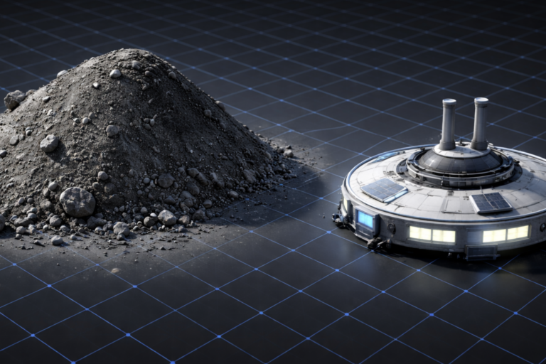
In the previous piece we stopped at a problem that rarely comes up in discussions about lunar bases: the regolith layer. That 500-ton mass that has to land on every habitat for any of it to make sense. Mining, not architecture.
But there’s one thread that stays with you after thinking it through.
The Moon isn’t just regolith. There are rocks. There are boulders. There are fissures and rocky outcrops that — with the right habitat placement — can serve as ready-made walls.
A vertical rock face at 90° to the habitat eliminates two walls to be covered and nearly three corners. Instead of six surfaces to bury — three remain. The estimated mass of regolith to be moved drops by half or more, depending on the rock arrangement and shelter geometry.
That doesn’t make the mission simple. But it shifts the scale of difficulty into the executable range.
Test Mission: Mini Machines, Equator, 14 Days
Standard thinking about lunar bases orbits around two options. Either a short visit — land before sunrise, do what needs doing, leave before dark. Or the south pole — where nights are short, thermal conditions more forgiving, and solar energy available almost continuously. That’s where Artemis is going.
This mission does something different.
We’re going to the equator. Deliberately. With the intention of surviving a full 14-day lunar night.
Why not the pole? The south pole makes sense for the first crewed missions — quasi-continuous illumination, energy access, shorter nights. But the sun is always low on the horizon there, almost parallel to the surface. It casts long shadows on every structure and delivers energy at an angle, not perpendicularly. At the equator the sun travels high across the sky — batteries charge efficiently, but the transition to night is abrupt. The terminator moves at around 15 km/h. Within a few hours, full sunlight becomes total darkness and temperature begins to fall. There’s no gentle transition here. For electronics — it’s the hardest possible exam. It’s no coincidence that Apollo landed near the equator: the approach orbit is simpler, the flight mechanics more favorable. What was a pragmatic choice for those missions becomes, for us, a deliberate test of extremes.
A test mission, not a target base. We’re sending miniature construction machines adapted for regolith work. Their task: find the right boulder arrangement, build and cover with regolith a 2×2×1 meter habitat — and do it before sunset. Then the machines and habitat wait.
The philosophy of this mission is closer to SpaceX than NASA.
Survives the night — huge success. Doesn’t survive — smaller success, but the data comes back anyway. Something will break, something will fail, something will work unexpectedly well. All of it has value. Mission success is not the same as 100% success.
What the Night at the Equator Actually Is
Surviving 14 days of night near the poles is one thing. At the lunar equator — it’s a completely different category.
The moment of sunset at the equator is not a gradual dusk. With no atmosphere there’s no scattering of light, no afterglow — the sun drops below the horizon and it’s instantly dark. Temperature starts falling immediately. The fastest drop comes in the first hours after sunset.
At the south pole, the longest continuous darkness in the best-illuminated locations is about 43 hours. Temperatures fall, but the terrain is mapped, conditions catalogued, missions planned with that in mind.
At the equator there are no such advantages.
Surface temperature during 14 days of lunar day exceeds 120°C. Then the sun sets and over 14 days temperature falls to minus 170°C. The difference: nearly 300 degrees Celsius. One complete thermal cycle, without interruption, without buffering by atmosphere, without the thermal inertia of soil beyond a few centimeters depth.
Every material expands and contracts. Joints work. Seals are tested by temperature change alone — before any other threat appears. Batteries lose capacity in cold that on Earth we mostly know from specialized laboratory tests. Electronics designed with margins for polar missions may not survive this range.
And there’s no one there. No mission control ready for rapid intervention. No possibility of repair on site. The machines must get through it autonomously — and report back from the other side on their own.
If it worked — if the habitat and machines endured those 14 days and sent back a report — it would mean something fundamental.
Not just that the hardware held up. That the solution works in conditions we haven’t yet tested in practice. That the Moon — the entire Moon, not just its privileged poles — starts being accessible in a different way.
Today the south pole is the target because it solves the hardest problem: energy and surviving the night. It’s the logical choice for the first missions. But not the only possible one.
If a small, low-cost test mission near the equator showed that a properly built and regolith-covered habitat survives a full thermal cycle — the direction of the questions could shift. Not from poles to equator overnight. But from “how to avoid the night” to “how to survive the night anywhere.” Geological resources, science targets, future bases — these decisions are today constrained by a single assumption: that the lunar night at the equator is an insurmountable barrier.
Maybe it isn’t.
First: Choosing the Site
For this mission to make sense at all — the right location has to be found first.
Time before sunset is unforgiving. Mini machines have limited autonomy and limited operational time. A bad choice of location means they lose time moving instead of building. That the regolith at a given spot has the wrong consistency. That the boulders sit at the wrong angle or aren’t there at all.
The habitat has to be up and covered before the sun goes down. There’s no second attempt.
That requires preliminary selection — before any machine lands. Something has to “see” the terrain from orbit first and eliminate the obvious bad choices.
And it turns out I’ve already solved that problem.
Lunar 2.5D Terrain Inference Pipeline
A tool for preliminary analysis of lunar orbital imagery. Written with an LLM. Ready.
Where does “2.5D” come from: it doesn’t produce a flat map or a true 3D reconstruction. Somewhere in between — it takes a single image and tries to extract from it what’s possible, without any additional data.
What it does: takes a single orbital PNG image from NASA/LROC — publicly available, no special permissions needed. Separates three signals layered on top of each other in every pixel: solar illumination, material brightness (albedo), terrain geometry read from shadows and brightness gradients. Output: a qualitative relative height map and a confidence map — where the result is reliable, and where it’s already just a hypothesis.
The tool produces hypotheses, not measurements.
It’s not photogrammetry. It’s not machine learning. It won’t replace a digital elevation model from a dedicated survey mission. But it’s something you can run on a single image, in a few minutes, without access to anything specialized beyond Python and the sun angle parameters.
Every processing stage is visible — the program generates a dozen output files, from the shadow mask through the terrain gradient map to the final height map with overlaid confidence. No black box. Every assumption can be checked, every step traced back to see where something went wrong.
Limitations: heights are relative, not absolute — no reference datum. A single image cannot fully separate material from topography. This is a preliminary selection tool — for eliminating locations that are obviously bad choices before they receive further analysis.
The tool is ready. With the next article — I’m releasing it.
Where This Is Going
I’m designing a mission that doesn’t exist yet. Writing terrain analysis tools for a mission with no budget, no rocket, no schedule.
And there’s something I didn’t expect at the start: that the details become the actual content. How to calculate the gain from a boulder at 90°. How to choose a landing site from a single image. How to write a program that produces hypotheses instead of pretending to certainty.
Maybe I’m one of the few people playing at this level of detail. It’s an interesting place to be.
This article continues the lunar exploration series at AI907. Previous: Regolith Shield: The 500-Ton Elephant in the Room
This article was created in collaboration with Claude (Anthropic) — demonstrating how human-AI collaboration enables deep exploration of complex engineering topics.